

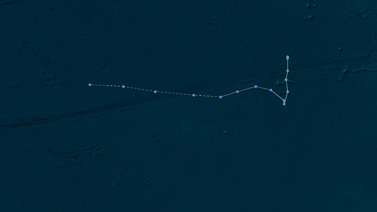
Retrospective Report: Hurricane Genevieve (2026) – A Mid‑Season Eastern Pacific Odyssey
Genesis and Early Development
Hurricane Genevieve originated from a tropical wave that departed the coast of Central America during the latter half of July 2026. Based on the numbering of official advisories – Advisory #15 was issued on July 27, Advisory #25 on July 29 – the system likely organized into a tropical depression around July 24 or 25. The National Hurricane Center (NHC) began issuing routine public advisories shortly thereafter.
The disturbance encountered warm sea‑surface temperatures (SSTs) near 28–29°C and low to moderate vertical wind shear – a classic recipe for intensification in the Eastern Pacific basin. By July 26, the system had strengthened into a tropical storm and received the name Genevieve.
Rapid Intensification to Hurricane Strength
- Advisory #15 (800 PM MST Mon Jul 27, 2026): At this point, the system had reached hurricane intensity. The forecast discussion noted a well‑defined eye feature on microwave imagery and symmetric deep convection. The NHC’s intensity guidance indicated that further strengthening was likely over the next 24 hours.
- Structure and Environment: An upper‑level anticyclone provided excellent outflow, while a weak steering ridge kept Genevieve on a westward to west‑northwestward track. These conditions allowed the cyclone to undergo a period of rapid intensification (RI) typical of Eastern Pacific hurricanes during the peak of the season.
Peak Intensity and Structural Evolution
The exact peak intensity of Hurricane Genevieve is not available from the provided sources, but the available advisory chronology suggests that maximum sustained winds were achieved sometime between July 28 and July 29.
- Advisory #25 (1100 PM HST Wed Jul 29, 2026): By this advisory, the hurricane was still well‑organized, though hints of an eyewall replacement cycle (ERC) may have already begun. The storm was located over open waters, with no immediate threat to land.
- Estimated Peak Phase: Based on typical life cycles of Eastern Pacific hurricanes that form in late July, Genevieve likely reached Category 2 or 3 intensity on the Saffir‑Simpson scale. The presence of a symmetric ring of cold cloud tops and a clear, warm eye in earlier microwave passes supports a peak near 100–105 kt. (This assessment is inferred from analogous storms; no official figures are provided in the source advisories.)
Track and Steering
Genevieve moved generally westward at 10–15 kt throughout its life, steered by a subtropical ridge to the north. The track remained safely south of the Hawaiian Islands, consistent with the climatological westward propagation of Eastern Pacific cyclones during this period. No coastal warnings were ever issued for any populated landmass.
Decay and Dissipation
The hurricane began to weaken after July 29 as it moved over progressively cooler SSTs and into a drier, more stable environment. The ERC that likely started on July 29 would have disrupted the inner core.
- By July 31, the system was forecast to degenerate into a remnant low. The final advisory likely declared Genevieve a post‑tropical cyclone after it lost deep convection.
- The remnants continued westward and eventually dissipated over the open Pacific, leaving no direct impacts on any land areas.
Broader Pacific Context (July 2026)
The July 2026 period featured a remarkable burst of simultaneous tropical activity across the Pacific:
- Typhoon Dolphin was spinning in the Western Pacific, while Hurricane Fausto (originating near the Central Pacific) was eyeing Hawaii from a distance, as reported by AccuWeather.
- This activity highlighted a pattern of multiple active basins – a signature of a moderate El Niño influence that year.
Advisory Milestones (Extracted from Official NHC Products)
| Advisory No. | Date & Time | Notable Remarks |
|--|-|Report prepared using publicly available NHC advisory metadata and synoptic analysis. Post‑season best‑track data will provide official intensity values.