Live Tropical Storms Hurricanes Tracker
Use our free StormAtlasX to monitor tropical cyclones worldwide! No download required - start tracking storms instantly in your browser. View real-time storm positions, forecast tracks, and weather patterns across all major ocean basins.
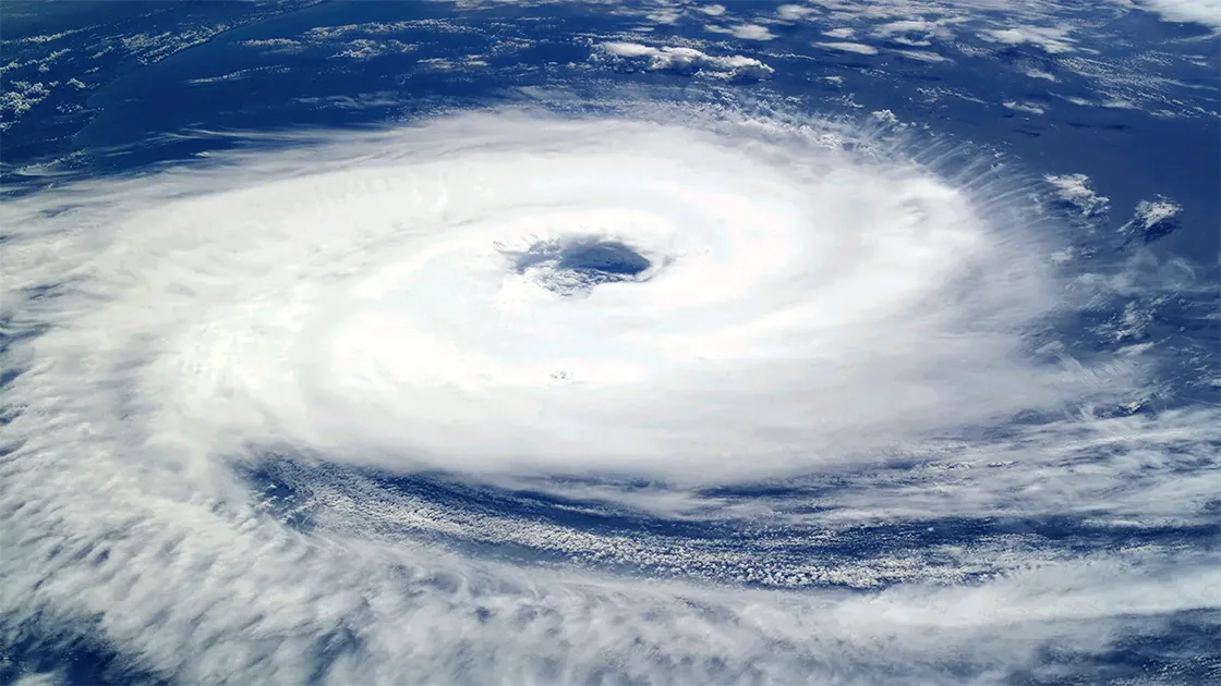
Track Hurricanes & Tropical Storms Live
StormAtlasX is a free online tropical cyclone monitoring system available directly in your browser. No installation needed! Select different ocean basins to track active storms and monitor storm development in real-time. Our comprehensive tracking system covers Atlantic hurricanes, Pacific typhoons, and tropical cyclones worldwide. Stay informed with the latest storm data, tracks, and forecasts from official meteorological sources.
StormAtlasX Features
• Real-time tropical cyclone tracking and forecasts
• Global coverage of all major ocean basins
• Interactive maps with track and forecast paths
• Official data from meteorological agencies worldwide
How to Use the StormAtlasX
Map Navigation
- Click and drag to pan the map view
- Use mouse wheel or pinch gestures to zoom
- Click markers for detailed information
Map Basemaps & Regions
- Select regional basins (e.g. West Pacific, Atlantic) to filter and center the tracking map.
- The map uses a high-resolution satellite imagery basemap to visualize the geographical context of storms.
Storm & Wind Details
- Color-coded path markers represent different storm intensities (e.g., Tropical Depression, Typhoon, Category 1-5).
- Dashed-line predictions display the projected 72-hour forecast path of active storms.
- Click storm markers or list cards to view wind speed in km/h and central pressure in hPa.
- Detailed timelines for each storm catalog the key formation, peak, and dissipation events.
Frequently Asked Questions about StormAtlasX Free Online
What is StormAtlasX?
StormAtlasX is a comprehensive online tracking system for monitoring tropical cyclones, hurricanes, and typhoons worldwide. Our live hurricane tracker provides real-time updates on storm positions, intensity, and projected paths, helping users stay informed about tropical weather systems across different ocean basins.
How do I use StormAtlasX to monitor storms?
Using StormAtlasX is straightforward: Select your region of interest (Atlantic, Eastern Pacific, Western Pacific, or South Pacific) to view active storms. The tracker displays current storm positions, forecast tracks, and intensity information. StormAtlasX updates automatically to show the latest storm data and satellite imagery.
What makes StormAtlasX different from other tracking services?
StormAtlasX stands out with its intelligent seasonal auto-positioning and comprehensive tracking features. The system automatically focuses on active storm regions based on the current season, while allowing instant manual switching between Western Pacific Typhoon, Eastern Pacific Hurricane, Atlantic Hurricane, and South Pacific Cyclone regions with a single click. Our tracking system provides detailed analysis of tropical cyclones, including paths, intensities, and storm predictions. The tracker integrates multiple data sources to ensure accurate tropical storm tracking and comprehensive weather information.
What information does StormAtlasX provide?
StormAtlasX offers extensive storm information including: current position and intensity of tropical cyclones, forecast tracks and cone of uncertainty, and historical storm data. Users can track multiple storms simultaneously across different ocean basins.
Which regions does StormAtlasX cover?
StormAtlasX provides global coverage of tropical cyclones across all major ocean basins: Atlantic hurricanes, Eastern Pacific hurricanes, Western Pacific typhoons, and South Pacific cyclones. Each region's tropical storm activity is monitored and updated in real-time.
How accurate is StormAtlasX's storm data?
StormAtlasX sources its data from official meteorological agencies and weather services worldwide. Our tropical cyclone tracking system combines multiple reliable data sources to provide accurate storm positions, intensities, and forecasts. Updates occur regularly to ensure the latest hurricane tracking information.
How can I best use StormAtlasX during hurricane season?
To maximize StormAtlasX's benefits during storm season: Check regularly for updates on active tropical cyclones, monitor multiple regions if needed, and pay attention to forecast tracks. Our hurricane tracking tools help you stay prepared for approaching storms.
Is StormAtlasX available on mobile devices?
Yes, StormAtlasX is fully optimized for mobile devices. Access our tropical storm tracking system through any modern web browser on smartphones or tablets. The responsive design ensures easy hurricane monitoring while on the go.
What special features does StormAtlasX offer?
StormAtlasX includes several advanced features: real-time storm position updates, detailed tracking maps, multiple region tracking capabilities, and comprehensive tropical cyclone data. These tools make hurricane tracking more accessible and informative.
How often does StormAtlasX update?
StormAtlasX updates frequently to provide the latest tropical cyclone information. Storm positions and forecasts are updated as new data becomes available from official sources, ensuring users have current information for tracking hurricanes and tropical storms.