

Typhoon Noul, 2026’s Strongest Storm, Forces 700,000 Evacuations in China
Typhoon Noul (2026) drew intense scrutiny from regional meteorological agencies after becoming the strongest storm to strike southern China during the 2026 western Pacific typhoon season. The cyclone formed east of the Philippines on July 22, 2026, strengthened rapidly across the South China Sea, and reached severe typhoon intensity before making landfall in Guangdong. Known locally in the Philippines as Typhoon Kiyapo, Noul triggered Tropical Cyclone Wind Signal (TCWS) warnings, coastal evacuations, and emergency preparations across affected areas. More than 700,000 people were evacuated in southern China as authorities responded to destructive winds, heavy rainfall, and flooding risks linked to the storm.
From Tropical Depression to Typhoon: Noul Intensifies Near the Philippines
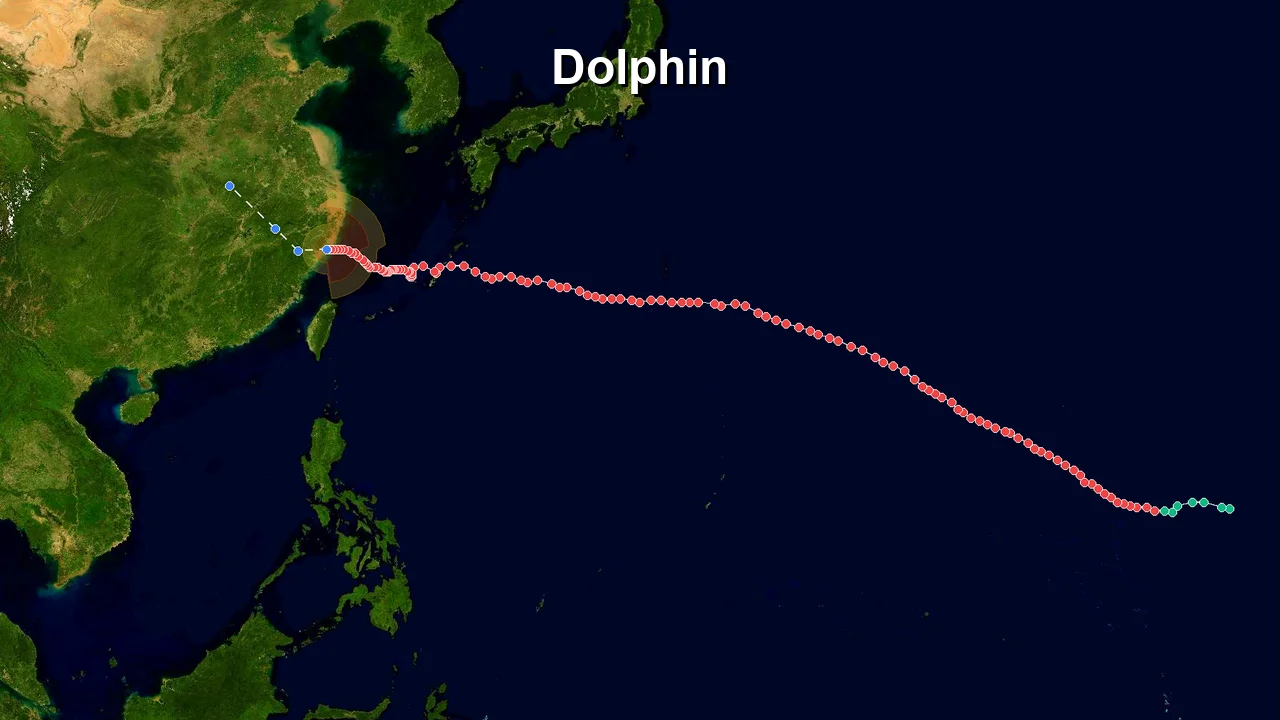
Noul originated from a tropical depression over the western Pacific on July 22, 2026, near 15.8°N, 130.4°E. According to China Meteorological Administration (CMA) best-track data, the system initially had maximum sustained winds of 15 meters per second and a central pressure of 1000 units. The disturbance moved west-northwestward toward the Philippine Sea while gradually organizing under favorable tropical conditions.
As the circulation approached the Philippines, convection expanded around the developing center. The system strengthened steadily and reached severe tropical storm intensity on July 24 near 19.2°N, 121.6°E, with winds increasing to 25 meters per second and pressure falling to 985 units. Several hours later, Noul continued to intensify while passing east of northern Luzon.
The Philippine Atmospheric, Geophysical and Astronomical Services Administration (PAGASA) designated the cyclone as Typhoon Kiyapo within the Philippine monitoring area. PAGASA issued Tropical Cyclone Wind Signal (TCWS) warnings for communities threatened by strong winds and heavy rainfall, urging residents in exposed areas to take immediate precautionary measures.
Noul moved away from the Philippine archipelago and entered the South China Sea on July 24. By 21:00 UTC that day, CMA upgraded the storm to typhoon intensity near 20.3°N, 118.8°E. The cyclone carried winds of 33 meters per second, with pressure reduced to 975 units as its inner circulation became increasingly organized.
The storm’s rapid rise placed coastal areas around the northern Philippines and southern China on alert. Emergency agencies monitored rainfall, storm surge potential, and maritime hazards as Noul continued toward the mainland coast.
South China Sea’s Warm Waters Fuel Noul’s Explosive 24-Hour Surge
What set Noul apart in 2026 was its rapid intensification during its final approach toward southern China. Between July 24 and July 25, the cyclone strengthened from a typhoon into a severe typhoon as it moved across the South China Sea.
CMA observations showed Noul reaching peak intensity on July 25 near 22.1°N, 115.5°E. The storm produced maximum sustained winds of 42 meters per second, with a central pressure of 955 units. Another observation six hours later recorded winds of 45 meters per second while the system remained at severe typhoon strength.
The strengthening occurred over waters with high ocean temperatures and strong moisture availability. These conditions allowed the storm’s circulation to deepen quickly before land interaction began. Satellite monitoring showed a well-developed cloud structure surrounding the center as Noul approached Guangdong.
At peak strength, Noul was classified as a Severe Typhoon under regional intensity terminology. The storm’s wind field affected coastal shipping routes, fishing communities, and low-lying areas along the northern South China Sea coastline.
The storm became the 12th named typhoon of the 2026 season in Chinese meteorological records. CMA issued escalating warnings as Noul approached land, with emergency authorities activating response measures. Guangdong authorities prepared evacuation operations, flood-control teams, and infrastructure inspections before the cyclone arrived.
Guangdong Coast Takes Direct Hit as Noul Makes Landfall at 3:50 a.m.
Typhoon Noul made landfall at approximately 3:50 a.m. local time on July 26, 2026, in Huidong County, Huizhou, Guangdong Province. The storm arrived with severe typhoon-level winds near its center, bringing destructive gusts, intense rainfall, and dangerous coastal conditions.
More than 700,000 residents were evacuated across affected areas in southern China as authorities prepared for the storm’s impact. Emergency measures included temporary relocation of residents from vulnerable coastal zones, suspension of some transportation services, and deployment of rescue personnel.
The China Meteorological Administration issued high-level warnings during Noul’s approach, while local governments implemented emergency response procedures. Guangdong’s coastal cities prepared for flooding, wind damage, and possible infrastructure disruption as the typhoon moved inland.
Hong Kong also experienced significant effects from Noul’s circulation. The Hong Kong Observatory raised its tropical cyclone warning system to Typhoon Signal No. 9 during the storm’s closest approach, before later lowering the warning to Typhoon Signal No. 8 as conditions improved. The signals affected public transport, aviation operations, and marine activity across the territory.
In the Philippines, Kiyapo’s earlier passage brought heavy rainfall and strong winds to northern areas. PAGASA’s TCWS system provided localized warnings before the cyclone moved into the South China Sea. Coastal communities experienced rough seas, while some areas reported flooding and weather-related disruptions.
The storm’s strongest impacts were concentrated along the southern China coastline, where dense populations and extensive infrastructure increased the need for rapid emergency action. Authorities continued damage assessments and recovery operations after Noul moved away from the coast.
Noul Weakens Rapidly Overland, Leaving Flooding Threat Across Southern Provinces
After striking Guangdong, Noul weakened quickly as its circulation interacted with land and lost access to the warm ocean environment that had fueled its development. CMA records showed the storm dropping from severe tropical storm intensity to tropical storm strength on July 26 as it moved inland.
At 08:00 UTC on July 26, Noul was located near 23.8°N, 113.8°E, with winds reduced to 20 meters per second and pressure rising to 992 units. Later that day, the system continued weakening across southern China, with rainfall becoming the primary remaining hazard.
By July 27, CMA classified Noul as a tropical depression near 26.7°N, 113.2°E. Winds had decreased to approximately 12 meters per second, and the central pressure had risen to 1002 units as the former typhoon lost its organized structure.
Although Noul’s strongest winds ended after landfall, prolonged rainfall maintained flood risks across parts of Guangdong and neighboring southern provinces. Emergency agencies continued monitoring rivers, reservoirs, and landslide-prone areas as the weakened circulation moved farther inland.
The final CMA observation at 03:00 UTC on July 27 placed Noul near 26.7°N, 113.2°E as a tropical depression with maximum sustained winds of 12 meters per second and a central pressure of 1002 units.